Autonomous Crop-Monitoring Drone
The challenge
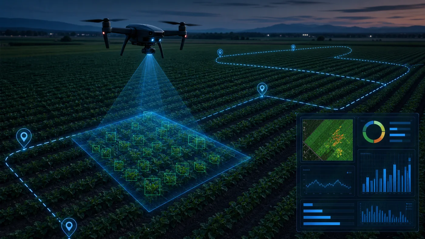
Monitoring large agricultural fields manually is slow and difficult to repeat consistently. This project explored an autonomous aerial-inspection system that could fly a field, capture visual data and detect crops at scale.
Autonomous flight
The drone was programmed to follow a repeatable field-coverage route rather than relying on manual piloting. Flight behavior and image capture had to be coordinated so the vision pipeline received usable frames with sufficient field coverage.
Computer-vision pipeline
Captured imagery passed through an OpenCV-based preprocessing workflow before object detection. The detector located crop instances in individual frames, turning raw aerial footage into countable observations.
From detections to monitoring
The system combined detections across the flight so the output represented the monitored area rather than a collection of unrelated frames. This exposed an important systems problem: preventing overlap and repeated observations from becoming misleading counts.
Real-world constraints
- Altitude changes the apparent scale and detail of each crop.
- Motion blur and camera angle affect detection quality.
- Lighting, shadows and crop overlap introduce visual variation.
- Flight coverage and frame overlap influence both recall and duplicate counting.
What the project demonstrates
The project connects robotics and perception into one end-to-end system: autonomous movement, data acquisition, OpenCV preprocessing, object detection and result aggregation. It also shows why a model metric alone does not describe whether a physical AI system works.
Next iteration
A production version would add geospatial alignment, explicit duplicate suppression, flight telemetry and a repeatable field-level evaluation protocol. Those additions would turn promising detections into a more defensible monitoring product.